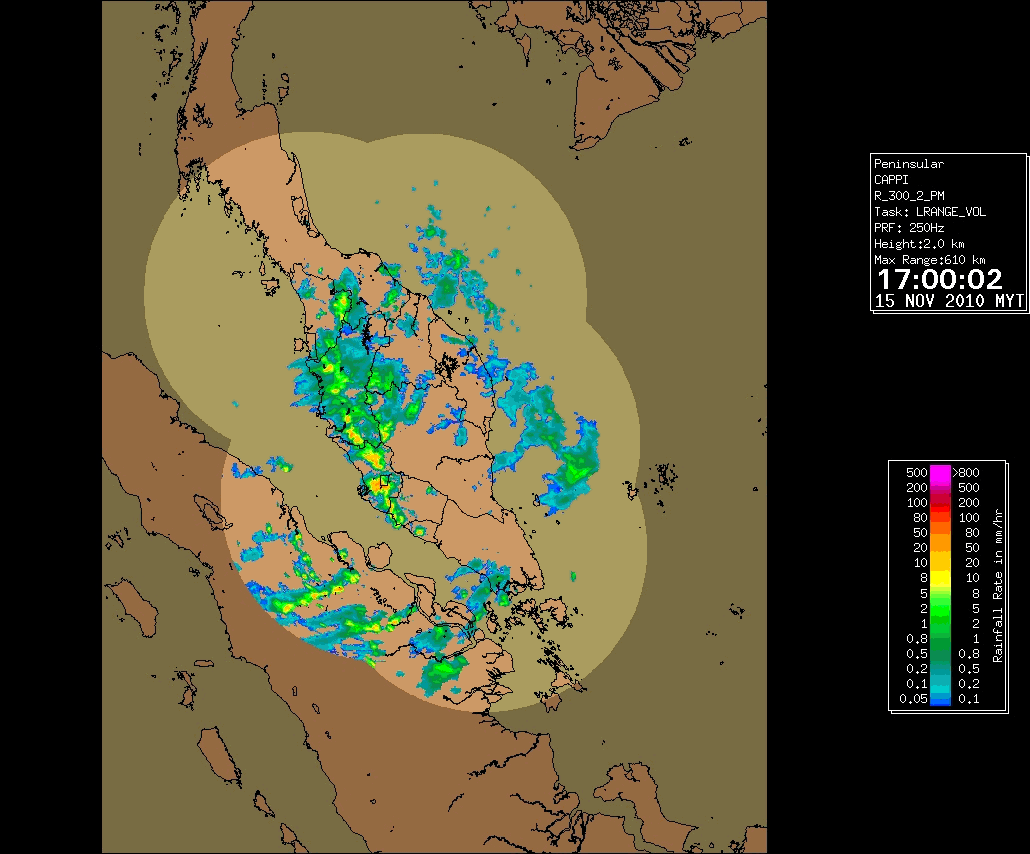
PENANG, NOVEMBER 15, 2010

The lower image is the same radar image but taken at 17.00 MLT, showing no activity of thunderstorm in Penang to its north.
PERLIS, OCTOBER 28, 2010

Again, the waterspout in Perlis is not forming a prominent feature, and this one is hard to spot in radar. Because of having high precipitation aloft, the echo from the waterspout is quite obscured. Since waterspout is weaker than tornadoes, it rarely forms the shape of hook in radar images.
SETINDAN ISLAND NEAR MERSING, JUNE 17, 2011

This radar image shows a thunderstorm moving from west to east. When it meets with the South China Sea, it creates a waterspout.
Data provided by Malaysian meteorological radar archive and YouTube.
ANALYSIS OF RADAR IMAGE
Seeing the radar images above, I finally come to these hypotheses:
Waterspouts in tropical region is seemingly increased in duration when the wind from two opposite direction meets (see the first two radar images). This condition is fulfilled at March to June or September to November. In that times, the High pressure area of northern Pacific is moving from its previous position; In June, it located north of Philippine and west of Japan, while in December, it located more south; it can reach Moluccas and spawn high winds for eastern Indonesia. When it moving from previous position, the wind can pass northern Malaysia and meet the opposing wind from India, made the atmosphere there unstable. Explosive CAPE can be seen in Penang case, when a CAP above Penang and Kedah broke and creates a sudden thunderstorm in only one hour.